23-Mar-00 thru 25-Mar-00
Our Trip to Whangarei
A sign here said:
Whangarei is a town in New Zealand's Northland. The old name for this place is Otuihau. It is said that the river was full of eels and the local Maori set their traps here. This area is now known as Tikipunga to the Maori. In the 1880's and the 1900's the falls were a very popular picnic spot. People came by carriage, horse or on foot for a day's outing. The property was owned by the Dobbie family. In the late 1920's Mr. Archibald Clapham bought the property, reputedly to prevent the falls from commercial use as a water mill site. In 1946 a local businessman's association raised the purchase price by public subscription and the property was vested in "His Majesty the King" as a public domain. The domain board handed over control to the Whangarei borough in 1958.
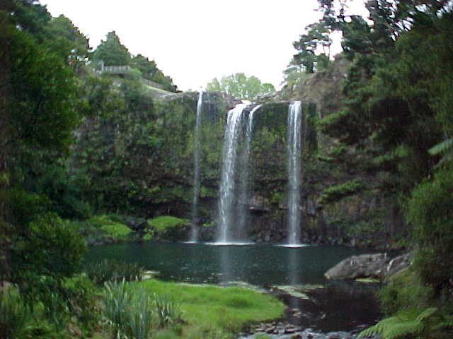
The 26.3m high falls were formed by the Haten River crossing a basalt lava flow, estimated to be about 2.5M years old. The flow flooded a valley formed by the faults and built the Tikipunga plateau. The basalt flow, here around 40m thick, cooled slowly and it's middle third split into the typical 'columnar basalt'. These upright six sided columns form when the cooling basalt cracks. Examples of this can be seen at the base of the falls. The river continually erodes the edge of the falls and slowly cuts a gorge as the fall moves upstream. The falls have moved about 400m since the river started crossing the flow and are about half way across.

Whangarei falls
The falls from the bottom. Imagine how fantastic it must have looked to the first Europeans to see it- with naked Polynesian girls bathing in the pool below of course.
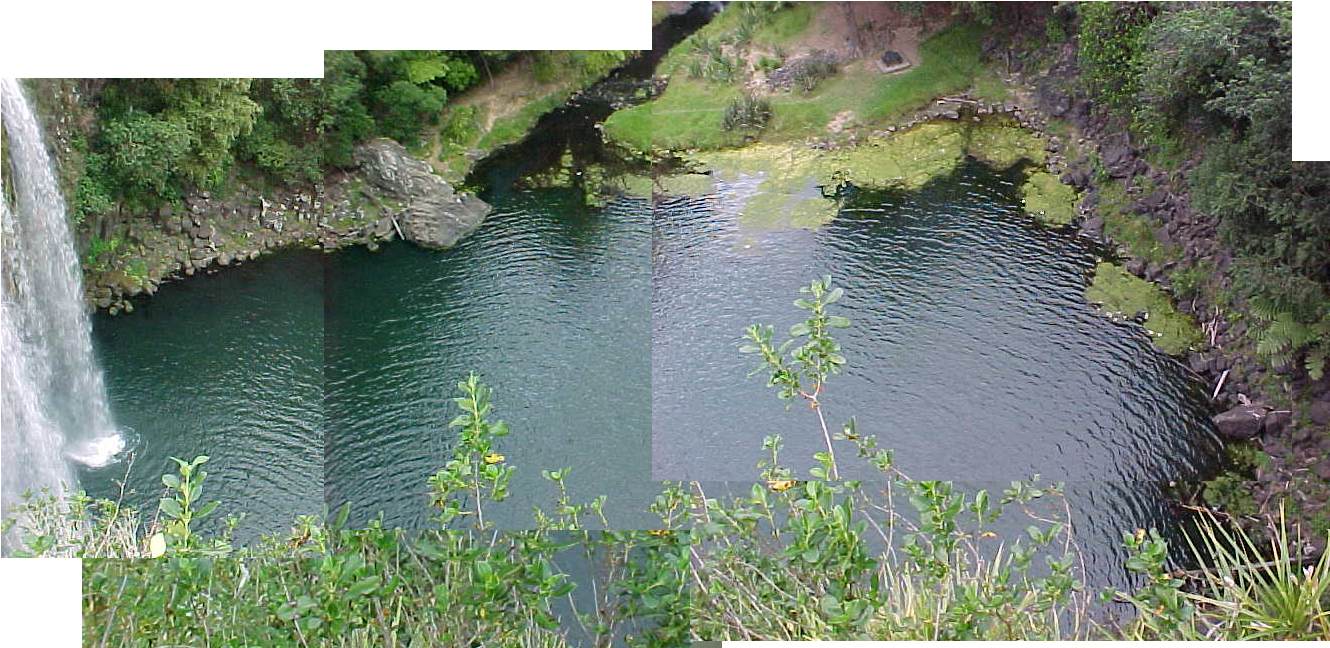
The falls from the top

The pool at the bottom
SGK showing off at the top of the falls
The stream that drains the pool
The Marina

Sunset in town
SGK was allergic to our rental car
- so we had to get it steam cleaned

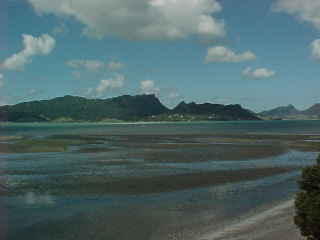
The headlands out of town
Surf's up!
having WAY too much fun.
 MRA
MRA SGK
SGK Michelangelo
 Isabella


No comments:
Post a Comment